Tartaria Map Premium Matte Poster Ortelius 1570 Tartariae Sive Magni Chami Regni Framed Archival Print
from $45.72
The first dedicated map of Tartaria, published by Ortelius in 1570. A named territory. Labeled without qualification. Framed archival print.
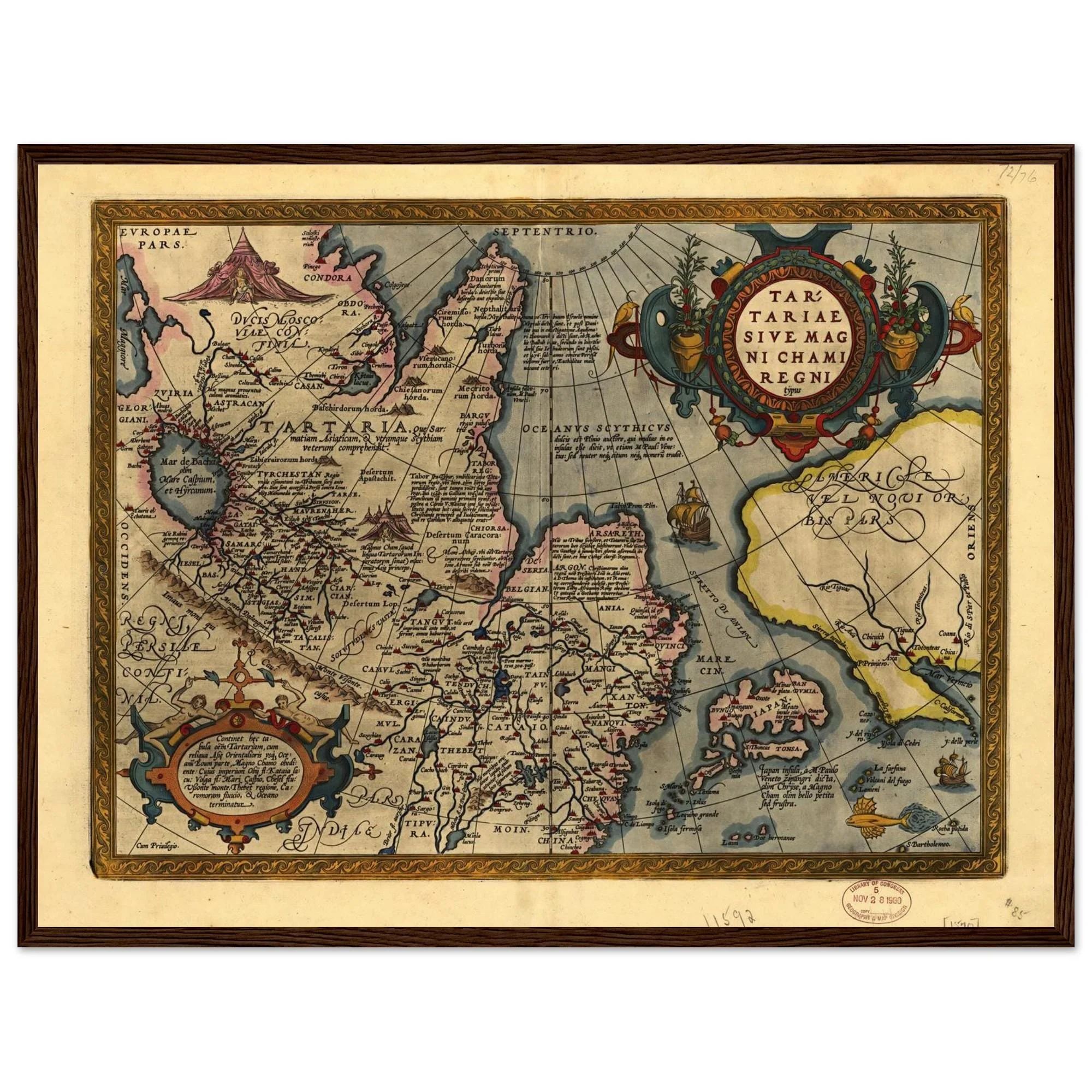
Abraham Ortelius published Tartariae Sive Magni Chami Regni Typus in the inaugural edition of Theatrum Orbis Terrarum — the first modern atlas, and at the time the most expensive book in print. The map depicts Tartaria as a named, bounded territory stretching from the Volga and Caspian in the west to the Pacific in the east. The Great Khan's tent appears near the cartouche. A galleon crosses the northern sea. Latin annotations mark the Tatar Khanates, the Great Wall of China, and a conjectural strait between Asia and America. Four engraved states ran from 1570 to 1612.
The territory it names covered more land than any European empire then in existence. It is labeled here without qualification: present in the opening edition of the first atlas of the modern world, drawn by its foremost cartographer.
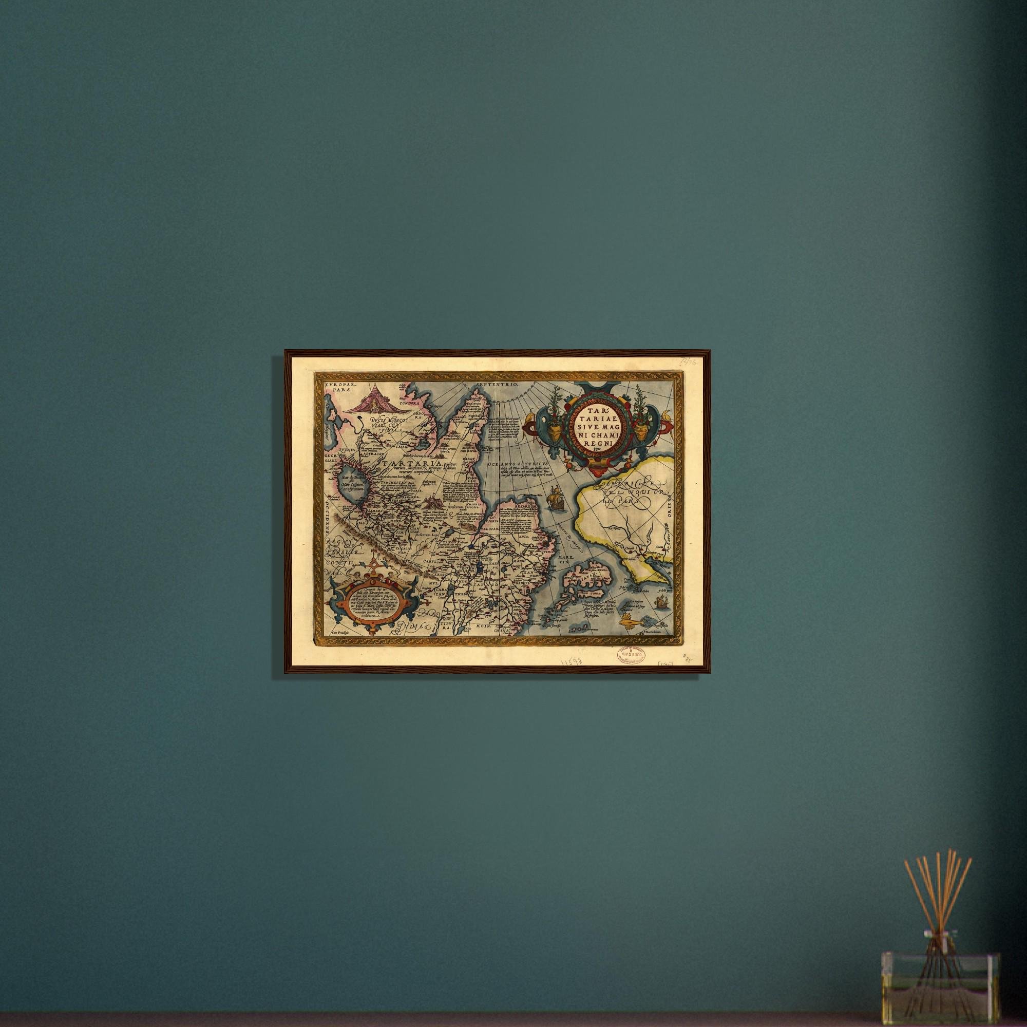
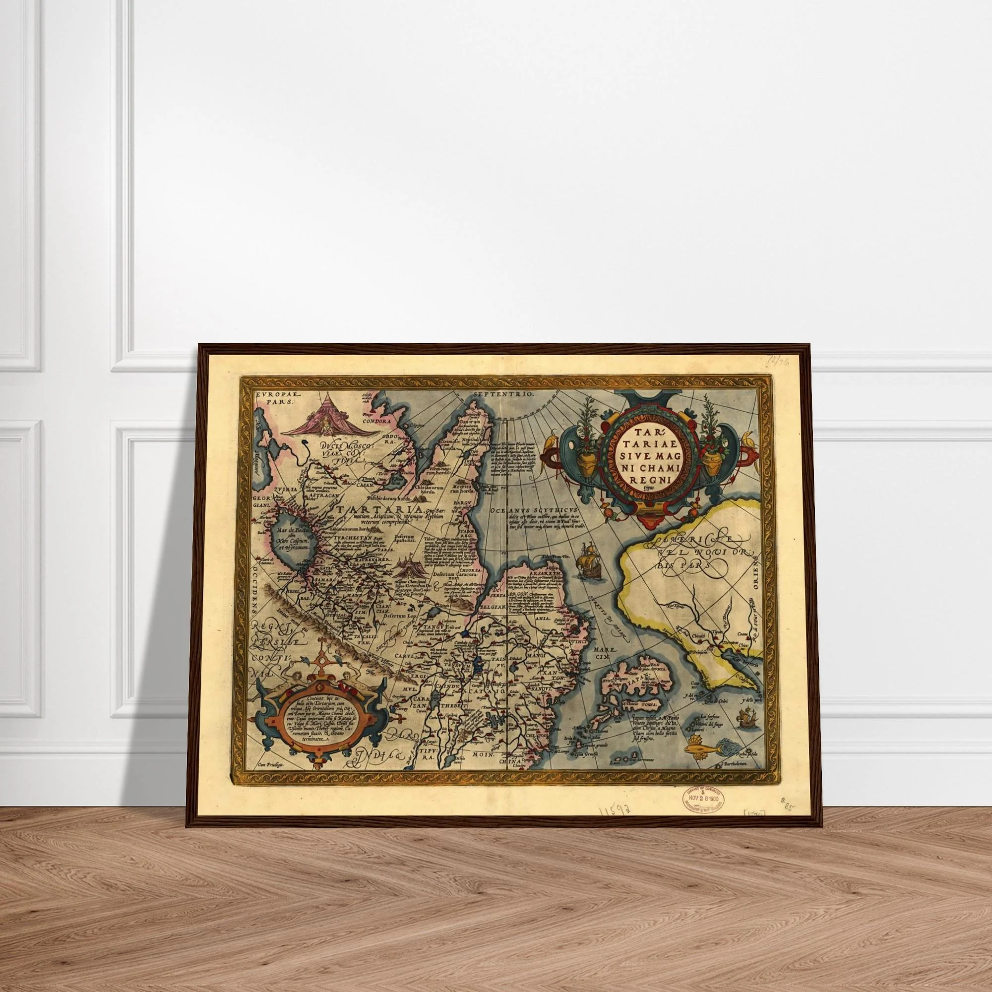
Features: · Framed matte archival print · Heavyweight paper, 200 gsm — smooth, non-reflective finish · Shatterproof plexiglass protection · Durable pine wood frame, 20–25 mm thick · FSC-certified materials · Option to includes hanging kit · Available in multiple sizes
The record is kept elsewhere now. This is a copy from the archive.
The first dedicated map of Tartaria, published by Ortelius in 1570. A named territory. Labeled without qualification. Framed archival print.
Abraham Ortelius published Tartariae Sive Magni Chami Regni Typus in the inaugural edition of Theatrum Orbis Terrarum — the first modern atlas, and at the time the most expensive book in print. The map depicts Tartaria as a named, bounded territory stretching from the Volga and Caspian in the west to the Pacific in the east. The Great Khan's tent appears near the cartouche. A galleon crosses the northern sea. Latin annotations mark the Tatar Khanates, the Great Wall of China, and a conjectural strait between Asia and America. Four engraved states ran from 1570 to 1612.
The territory it names covered more land than any European empire then in existence. It is labeled here without qualification: present in the opening edition of the first atlas of the modern world, drawn by its foremost cartographer.
Features: · Framed matte archival print · Heavyweight paper, 200 gsm — smooth, non-reflective finish · Shatterproof plexiglass protection · Durable pine wood frame, 20–25 mm thick · FSC-certified materials · Option to includes hanging kit · Available in multiple sizes
The record is kept elsewhere now. This is a copy from the archive.