Medieval Europe, Asia, Tartary Map – Charlemagne Era Empires with Engraved Detail
from $44.00
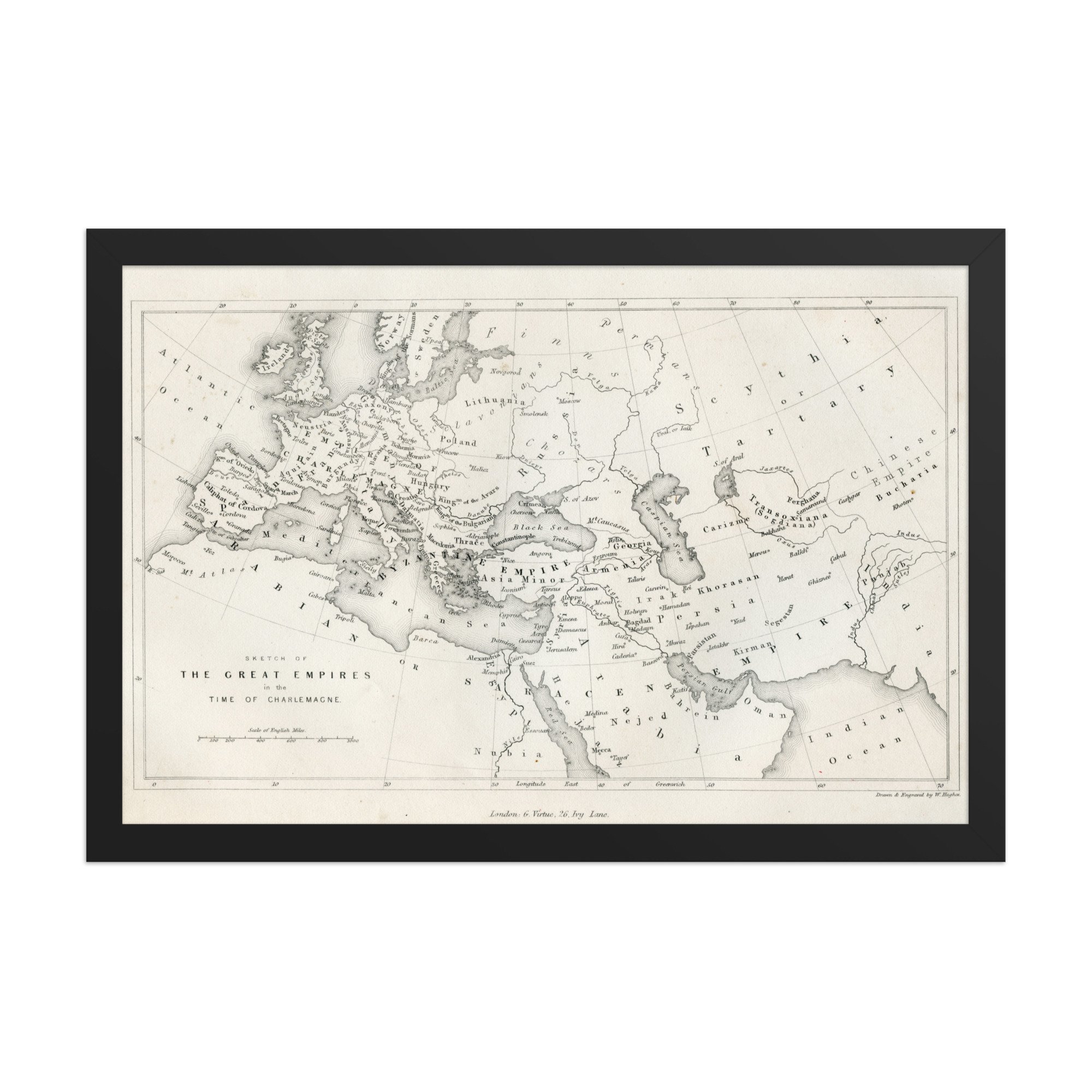
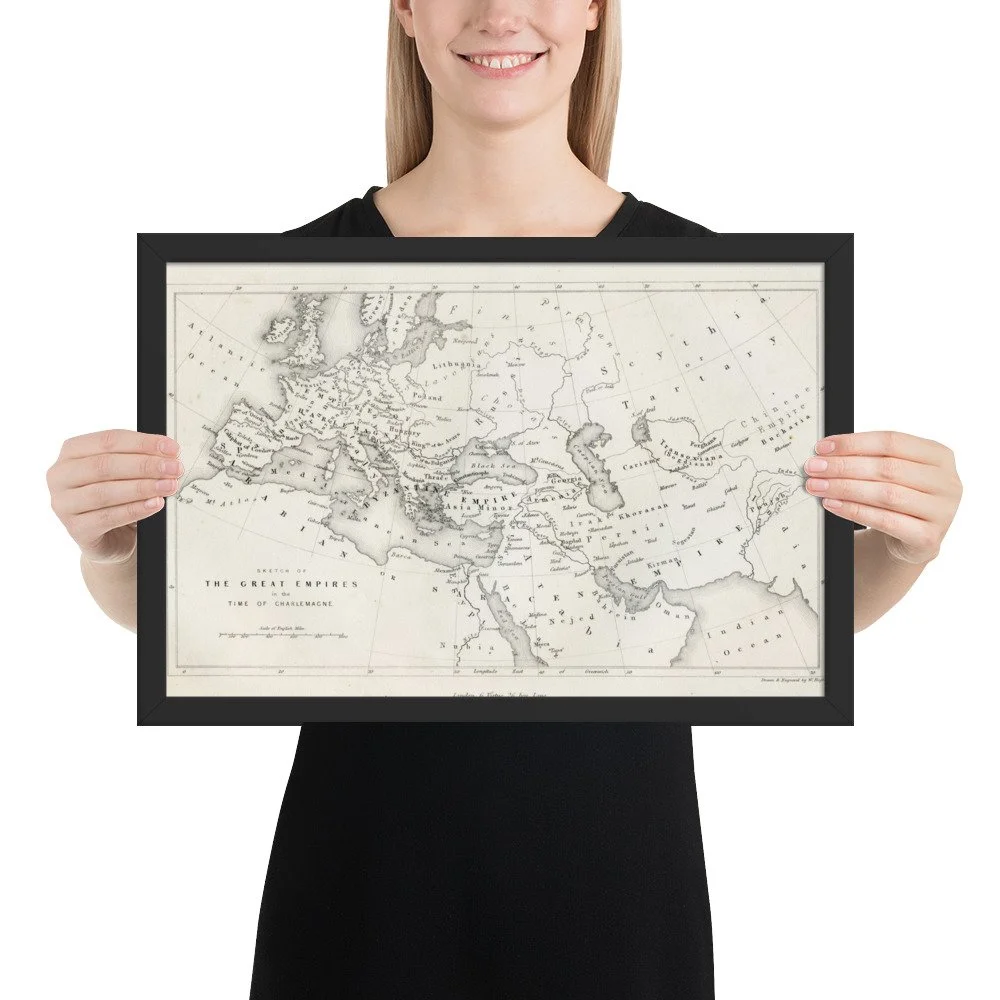
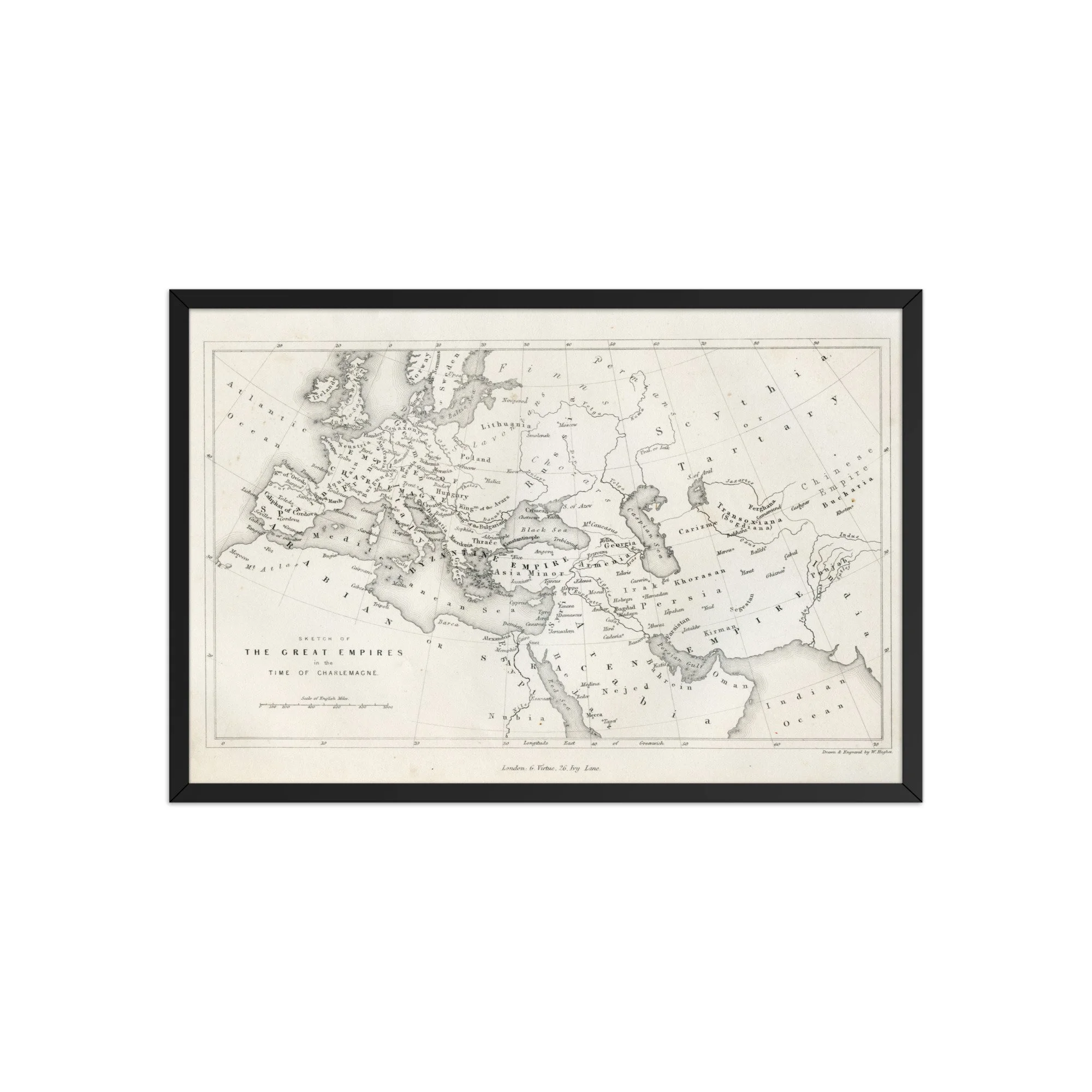
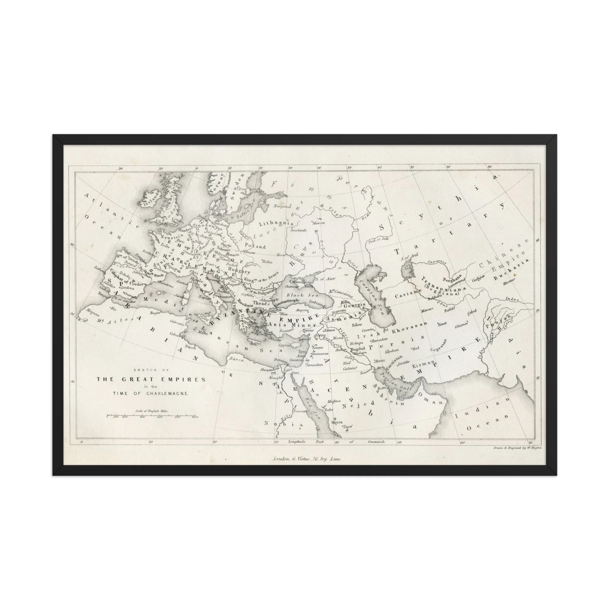
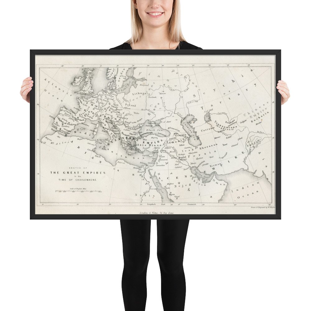
Engraved map showing Europe, North Africa, and Western Asia during the time of Charlemagne, with labeled empires and kingdoms from the Byzantine to the Saracen territories, including the vast region marked as Tartary. Published by G. Virtue in London.
This antique-style cartographic print is perfect for lovers of medieval history, ancient civilizations, historical geography, vintage maps, and old-world aesthetics. A striking piece for libraries, studies, offices, history rooms, and anyone fascinated by forgotten lands and empires.
PRODUCT DETAILS
• Ayous wood frame (.75″ / 1.9 cm thick) sourced from renewable forests
• Museum-style paper: 10.3 mil (0.26 mm) thickness
• Paper weight: 189 g/m²
• Lightweight design
• Clear Acrylite front protector
• Hanging hardware included
Perfect for:
•Medieval history lovers
• Ancient world enthusiasts
• Vintage map collectors
• Cartography fans
• History classroom decor
• Library wall art
• Old empire aesthetic
• Tartary / Scythia map collectors
Engraved map showing Europe, North Africa, and Western Asia during the time of Charlemagne, with labeled empires and kingdoms from the Byzantine to the Saracen territories, including the vast region marked as Tartary. Published by G. Virtue in London.
This antique-style cartographic print is perfect for lovers of medieval history, ancient civilizations, historical geography, vintage maps, and old-world aesthetics. A striking piece for libraries, studies, offices, history rooms, and anyone fascinated by forgotten lands and empires.
PRODUCT DETAILS
• Ayous wood frame (.75″ / 1.9 cm thick) sourced from renewable forests
• Museum-style paper: 10.3 mil (0.26 mm) thickness
• Paper weight: 189 g/m²
• Lightweight design
• Clear Acrylite front protector
• Hanging hardware included